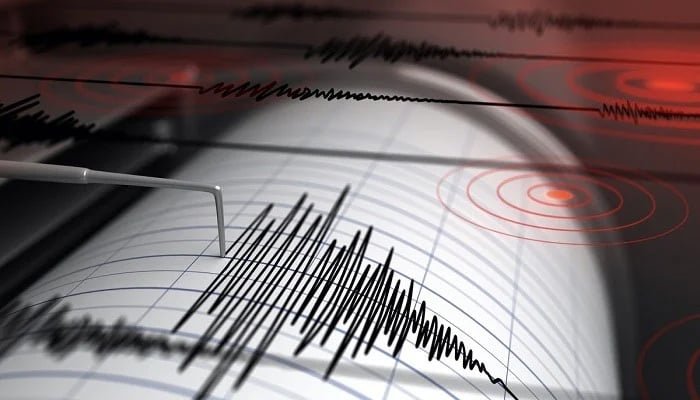
On Saturday, a moderate earthquake with a magnitude of 4.9 struck Gwadar, a coastal city in Balochistan. Thankfully, authorities reported no immediate damage or injuries. The National Seismic Monitoring Centre, part of the Pakistan Meteorological Department (PMD), pinpointed the earthquake’s origin to approximately 40 kilometers southwest of Pasni, at a depth of 14 kilometers.
This event comes after a period of heightened seismic activity in Pakistan. Earlier this month, Karachi experienced a series of 36 minor earthquakes, beginning on June 1st. The weather department attributed these tremors to activity along the Landhi fault line. The latest of these, measuring 2.6 in magnitude and occurring at a depth of 10 kilometers, shook the city two days ago at 1:45 AM, with the epicenter located 8 kilometers southeast of Malir.
Prior to the Karachi tremors, Peshawar, the capital of Khyber Pakhtunkhwa, was also shaken by a relatively mild 4.7 magnitude earthquake just a day before. The seismological center traced the origin of those tremors to the Hindu Kush mountain range in Afghanistan, at a depth of 211 kilometers.
These recent events are part of a broader pattern of earthquakes affecting different regions of Pakistan. The country’s location on the boundary between the Indian and Eurasian tectonic plates makes it particularly prone to seismic activity. The constant pressure of the Indian plate pushing northward against the Eurasian plate contributes significantly to the frequent earthquakes experienced across much of South Asia.


